Salt Point State Park
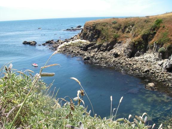
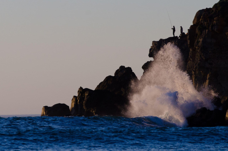
Cliffs and crevices on a rocky coastline

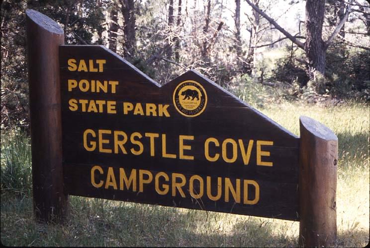
Camping
Trail maps
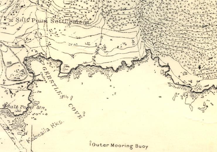
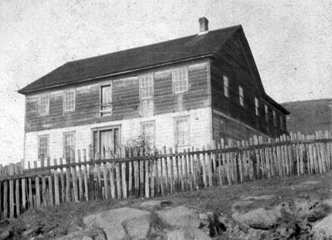
History
Things to do
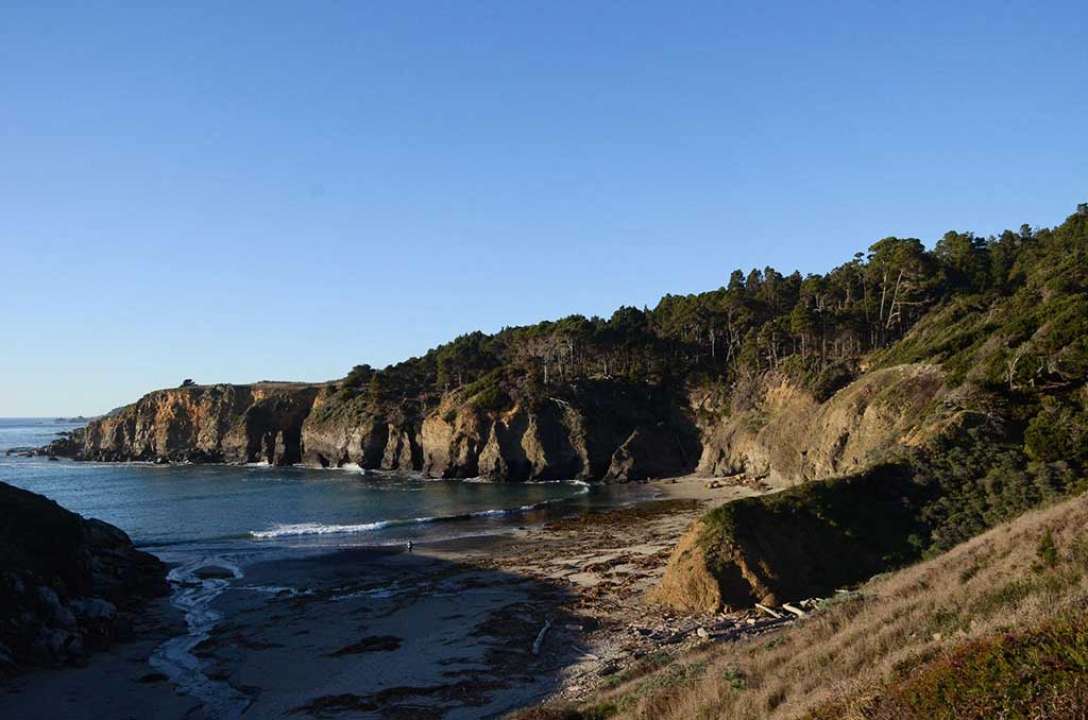
Places to see
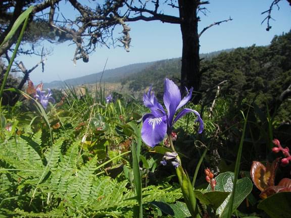
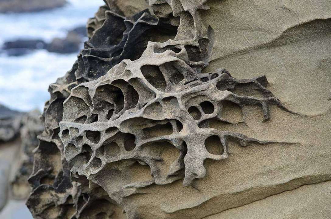
Natural history